
Marathon MSAR Goes Geocaching
Myron Erickson
My 14 year old son led us on a geocaching adventure to the bottom of Higgins Lake, Michigan. Higgins Lake is a big spring-fed, crystal clear lake in the northern lower peninsula, big enough to be visible from space. It is also the deepest inland lake in the lower peninsula of our great state, so I figured I'd better wear something with plenty of water resistance. The mighty MSAR's 300m of WR would do the trick, I figured.
Me: "How deep is it?"
Him: "It says 12 feet."
Me: "Good, that leaves a margin of safety of 296 meters. Let's get started."
We fashioned a catamaran rig of two Wenonah Spirit II canoes for stability, safety, and comfort. We named our rig Kon Tiki II, packed some snacks, and took off. The geocache was 3.3 miles from our beach as a crow flies. I don't know about you, but I don't paddle a canoe like a crow flies, so I figure we probably went about 8 or 9 miles round trip total. Here is the route you would have taken had you been a crow:

Our strategy was to go to the near point, rest on the sand bar, then cross the really deep water to the lee side of the island, rest, then make one more deep water crossing to the geocache , locate it, and return. I estimated 1.5 hours paddle time, and we set off at about 1300 hours.
No one else was wearing a watch, so timekeeping was up to me and the MSAR. I was also backup navigation officer in case the iPhone went overboard. I quickly Googled a refresher on how to use a watch as a compass in case I was pressed into service. Here is the crew:

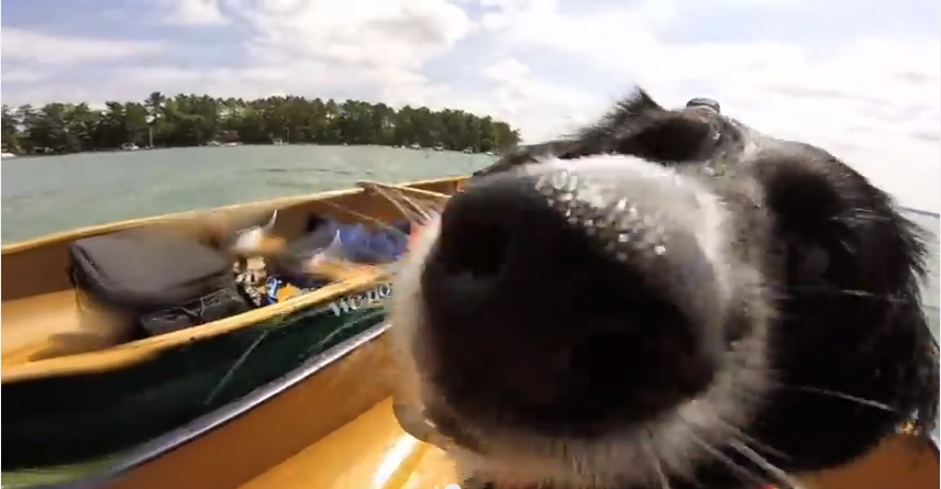
Foreground: Dash the Kon Tiki Dog;
Bkgrnd Left: Parker, Mission Commander and Videographer;
Bkgrnd Right: Dr. Smartypants, Mission Expert in Epic Poetry (figured this might come in handy when they sing songs and tell tales of our exploit. She also packed a couple cold beers. So I had that going for me, which was nice.)
The geocache app got us within a few meters of the target. We circled a few times, peering overboard, zeroing in. The excitement onboard was palpable. The call went out, "Geocache ho!" and the Mission Commander gave the order to drop anchor and prepared for the first attempt to reach the geocache:

Dash volunteered to go first, but was told to remain topside and be ready to assist.
In goes the Mission Commander, entering the water backwards, because I'd seen Jacques Cousteau do it like this:
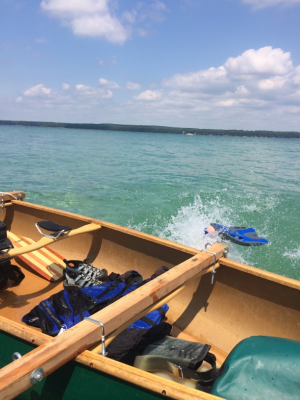
The Mission Commander returned and reported the geocache was slightly deeper than he could reach. With my trusty MSAR, I volunteered to go next.

At approximately 1 hr and 40 minutes since we had left, I reached the geocache. Success!


Back on the Kon Tiki II, we rested up for the return journey...

...and made it back in about 2 hours, owing to a head wind. After re-beaching the Kon Tiki II, passersby on the beach point out that "there is such a thing as a pontoon boat, you know." My reply: "Those people probably don't even wear a watch."
